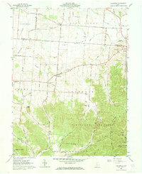
1961 Map of Hallsville
USGS Topo · Published 1973About this map
The Prairie dominates the central landscape of this Ross and Pickaway County borderland, where the flat agricultural terrain gives way to the rising elevations of Tar Hollow State Forest. This 1961 field-checked survey reveals a rural society anchored by crossroads settlements like Adelphi, Hallsville, and Whisler. The map is particularly dense with genealogical markers, noting numerous family and community burial sites including Throckmorton Cem, Hickle Cem, and Leasure Cem.
Find a feature on this map
52 named features on this map. Tap any name to fly to it.
Don’t see what you’re looking for? This feature index may not catch every label — zoom into the map to look around manually.
Map Details
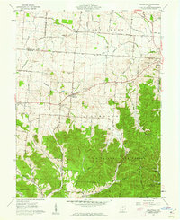
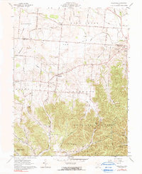
Editions of this 1961 Hallsville Map
Other maps of this area

1906 · Chillicothe
USGS Topo · 1:62,500

1907 · Lancaster
USGS Topo · 1:62,500

1908 · Chillicothe
USGS Topo · 1:62,500

1909 · Lancaster
USGS Topo · 1:62,500

1910 · Laurelville
USGS Topo · 1:62,500

1912 · Laurelville
USGS Topo · 1:62,500

1914 · Circleville
USGS Topo · 1:62,500

1943 · Circleville
USGS Topo · 1:62,500

1944 · Laurelville
USGS Topo · 1:62,500

1947 · Columbus
USGS Topo · 1:250,000