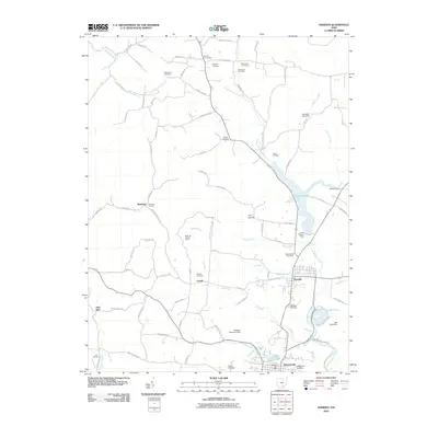
2010 Map of Hamden
USGS Topo · Published 2010About this map
Wellston and Hamden anchor this landscape along the banks of Little Raccoon Creek in the first decade of the 21st century. The map highlights a region defined by water management and industrial remnants, from the Wellston Reservoir Dam in the south to the historic Richland Furnace located near the small settlement of Richland. High ground is marked by the Reed Hill Lookout Tower, while recreation centers on Lake Rupert and the sprawling Lake Alma State Park. For those tracing local families, numerous small burial grounds such as Wyckoff Cemetery, Martindill Cemetery, and Franklin Cemetery are meticulously documented, often situated at rural junctions like Wyckoff Crossroads. The network of backroads, including Richland Furnace Rd and Old Adelphia State Hwy, connects these historic sites and small hamlets like Lesmil and Glen Nell.
Find a feature on this map
88 named features on this map. Tap any name to fly to it.
Don’t see what you’re looking for? This feature index may not catch every label — zoom into the map to look around manually.
Map Details
Editions of this 2010 Hamden Map
This is the sole edition of this map. No revisions or reprints were ever made.
Other maps of this area

1904 · Zaleski
USGS Topo · 1:62,500

1905 · Wilkesville
USGS Topo · 1:62,500

1907 · Zaleski
USGS Topo · 1:62,500

1908 · Wilkesville
USGS Topo · 1:62,500

1910 · Laurelville
USGS Topo · 1:62,500

1912 · Laurelville
USGS Topo · 1:62,500

1913 · Jackson
USGS Topo · 1:62,500

1944 · Jackson
USGS Topo · 1:62,500

1944 · Laurelville
USGS Topo · 1:62,500

1947 · Columbus
USGS Topo · 1:250,000