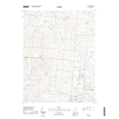
2019 Map of Hamden
USGS Topo · Published 2019About this map
Wellston anchors the southern edge of this map, where the border between Vinton and Jackson County meets a landscape defined by industrial legacy and water management. The city's northern outskirts give way to the village of Hamden, situated at the convergence of several major drainages including Little Raccoon Creek and Tripp Run. To the east, the waters of Lake Rupert and Lake Alma serve as prominent landmarks, while the surrounding hills are dotted with small cemeteries that reflect early pioneer settlement, such as Wyckoff Cemetery and Martindill Cemetery.
Find a feature on this map
107 named features on this map. Tap any name to fly to it.
Don’t see what you’re looking for? This feature index may not catch every label — zoom into the map to look around manually.
Map Details
Editions of this 2019 Hamden Map
This is the sole edition of this map. No revisions or reprints were ever made.
Other maps of this area

1904 · Zaleski
USGS Topo · 1:62,500

1905 · Wilkesville
USGS Topo · 1:62,500

1907 · Zaleski
USGS Topo · 1:62,500

1908 · Wilkesville
USGS Topo · 1:62,500

1910 · Laurelville
USGS Topo · 1:62,500

1912 · Laurelville
USGS Topo · 1:62,500

1913 · Jackson
USGS Topo · 1:62,500

1944 · Jackson
USGS Topo · 1:62,500

1944 · Laurelville
USGS Topo · 1:62,500

1947 · Columbus
USGS Topo · 1:250,000