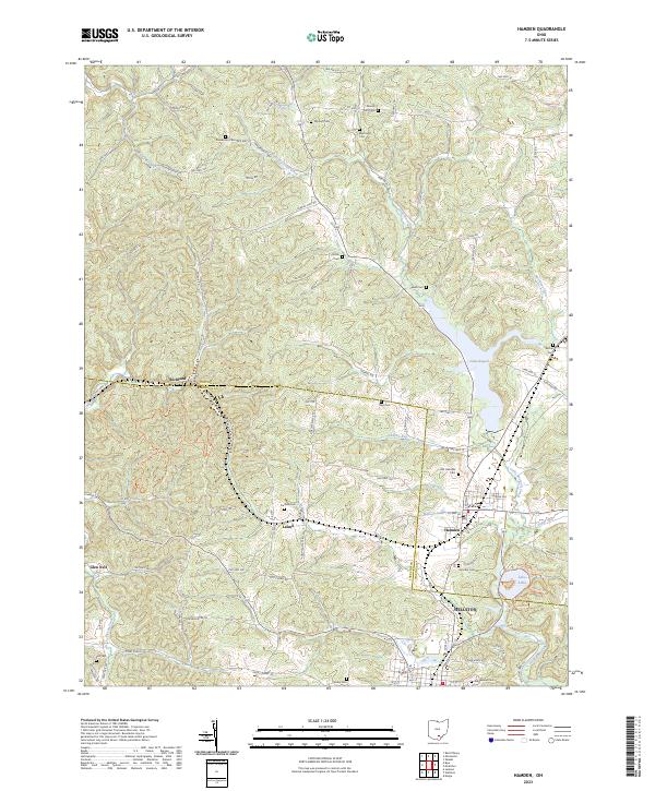
2023 Map of Hamden
USGS Topo · Published 2023About this map
Hamden and the surrounding hills of the Vinton County and Jackson County line are characterized by a network of rural roads and scattered small communities. The terrain is deeply carved by watercourses like Little Raccoon Creek and Pigeon Creek, which have shaped the settlement patterns of villages such as Lesmil, Glen Nell, and Richland. The presence of numerous family and church burial grounds, including Old Hamden Cem, Martindill Cem, and the Sell Cem near the southern boundary, provides a detailed map of the area's genealogical history.
Find a feature on this map
102 named features on this map. Tap any name to fly to it.
Don’t see what you’re looking for? This feature index may not catch every label — zoom into the map to look around manually.
Map Details
Editions of this 2023 Hamden Map
This is the sole edition of this map. No revisions or reprints were ever made.
Other maps of this area

1904 · Zaleski
USGS Topo · 1:62,500

1905 · Wilkesville
USGS Topo · 1:62,500

1907 · Zaleski
USGS Topo · 1:62,500

1908 · Wilkesville
USGS Topo · 1:62,500

1910 · Laurelville
USGS Topo · 1:62,500

1912 · Laurelville
USGS Topo · 1:62,500

1913 · Jackson
USGS Topo · 1:62,500

1944 · Jackson
USGS Topo · 1:62,500

1944 · Laurelville
USGS Topo · 1:62,500

1947 · Columbus
USGS Topo · 1:250,000