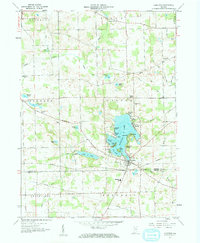
1959 Map of Hamilton
USGS Topo · Published 1961About this map
Hamilton Lake serves as the central hub for this northeast Indiana landscape, its intricate shoreline dotted with lakeside developments like Forest Park, Oakwood, and Circle Park. This 1959 revision illustrates a region shaped by post-war recreation and deep-rooted agricultural settlement at the border of Steuben and DeKalb Counties. To the north and west, the terrain is defined by a dense network of glacial water bodies and drainage ditches, including Johnson Lake, Ball Lake, and the winding Pigeon Creek.
Find a feature on this map
54 named features on this map. Tap any name to fly to it.
Don’t see what you’re looking for? This feature index may not catch every label — zoom into the map to look around manually.
Map Details
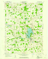
Editions of this 1959 Hamilton Map
2 editions found
Other maps of this area

1939 · Hamilton
USGS Topo · 1:24,000

1939 · Angola East
USGS Topo · 1:24,000

1939 · Clear Lake
USGS Topo · 1:24,000

1940 · Metz
USGS Topo · 1:24,000

1940 · Clear Lake
USGS Topo · 1:24,000

1941 · Angola West
USGS Topo · 1:24,000

1942 · Ashley
USGS Topo · 1:24,000

1942 · Angola West
USGS Topo · 1:24,000

1947 · Angola East
USGS Topo · 1:24,000

1948 · Hamilton
USGS Topo · 1:24,000