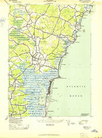
1944 Map of Hampton
USGS Topo · Published 1944About this map
The Atlantic Ocean coastline defines the landscape of this 1944 survey, featuring a series of salt marshes and sandy reaches before the era of intensive modern development. The Hampton River and Blackwater River snake through the expansive Hampton Flats, where the Boston and Maine RR crosses the tidal landscape near Hampton Falls. This era of the New Hampshire coast is marked by established summer colonies and institutions, including Stoneleigh College near Rye Beach and the Dearborn Academy in Seabrook.
Find a feature on this map
105 named features on this map. Tap any name to fly to it.
Don’t see what you’re looking for? This feature index may not catch every label — zoom into the map to look around manually.
Map Details
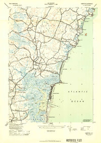
Editions of this 1944 Hampton Map
2 editions found
Other maps of this area

1888 · Newburyport
USGS Topo · 1:62,500

1890 · Newburyport
USGS Topo · 1:62,500

1893 · Dover
USGS Topo · 1:62,500

1893 · York
USGS Topo · 1:62,500

1894 · Newburyport
USGS Topo · 1:62,500

1916 · Dover
USGS Topo · 1:62,500

1918 · Dover
USGS Topo · 1:62,500

1920 · York
USGS Topo · 1:62,500

1932 · Newburyport
USGS Topo · 1:48,000

1934 · Exeter
USGS Topo · 1:62,500