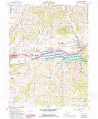
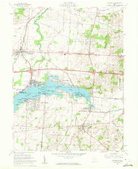
1961 Map of Hanover
USGS Topo · Published 1990About this map
The Licking River carves a significant path through this portion of Licking County, where the construction of the Dillon Lake reservoir has altered the local geography. The map captures the infrastructure of the mid-20th century, specifically the transition of rail dominance as the Baltimore and Ohio Railroad and the Penn Central lines converge near the settlement of Hanover. To the east, the dramatic topography of the Licking Gorge provides a sharp contrast to the developed corridors near Newark and Marne.
Find a feature on this map
43 named features on this map. Tap any name to fly to it.
Don’t see what you’re looking for? This feature index may not catch every label — zoom into the map to look around manually.
Map Details
Editions of this 1961 Hanover Map
5 editions found
Other maps of this area

1909 · Newark
USGS Topo · 1:62,500

1909 · Thornville
USGS Topo · 1:62,500

1910 · Frazeysburg
USGS Topo · 1:62,500

1910 · Zanesville
USGS Topo · 1:62,500

1947 · Columbus
USGS Topo · 1:250,000

1950 · Marion
USGS Topo · 1:250,000

1961 · Columbus
USGS Topo · 1:250,000

1961 · Hanover
USGS Topo · 1:24,000

1961 · Newark
USGS Topo · 1:24,000
1961 · Thornville
USGS Topo · 1:24,000