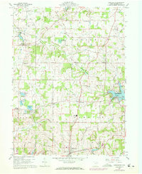
1959 Map of Hanoverton
USGS Topo · Published 1972About this map
North Georgetown and the southern reach of the Mahoning River anchor this topographic survey of central Columbiana County. The landscape is a patchwork of rural agriculture and specialized land use, characterized by numerous small water bodies such as Conser Run Lake and the Lake Placentia resort area. To the east, the Guilford Lake State Reserve and Guilford Lake provide a significant recreational anchor, while the Zepernick Lake Wildlife Area preserves the wetland character of the western terrain.
Find a feature on this map
47 named features on this map. Tap any name to fly to it.
Don’t see what you’re looking for? This feature index may not catch every label — zoom into the map to look around manually.
Map Details
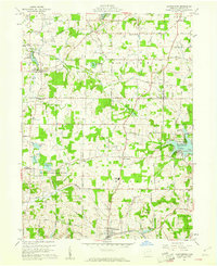
Editions of this 1959 Hanoverton Map
2 editions found
Other maps of this area

1905 · Salineville
USGS Topo · 1:62,500

1909 · Alliance
USGS Topo · 1:62,500

1909 · Lisbon
USGS Topo · 1:62,500

1910 · Carrollton
USGS Topo · 1:62,500

1912 · Carrollton
USGS Topo · 1:62,500

1951 · Canton
USGS Topo · 1:250,000

1952 · Alliance
USGS Topo · 1:24,000

1952 · Damascus
USGS Topo · 1:24,000
1952 · Salem
USGS Topo · 1:24,000

1953 · Canton
USGS Topo · 1:250,000