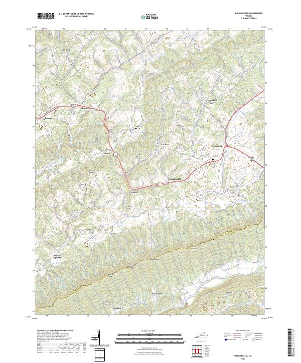
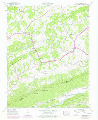
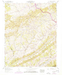
2022 Map of Hansonville
USGS Topo · Published 2022About this map
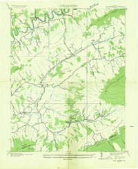
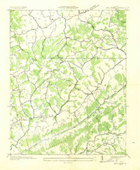
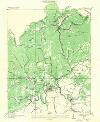
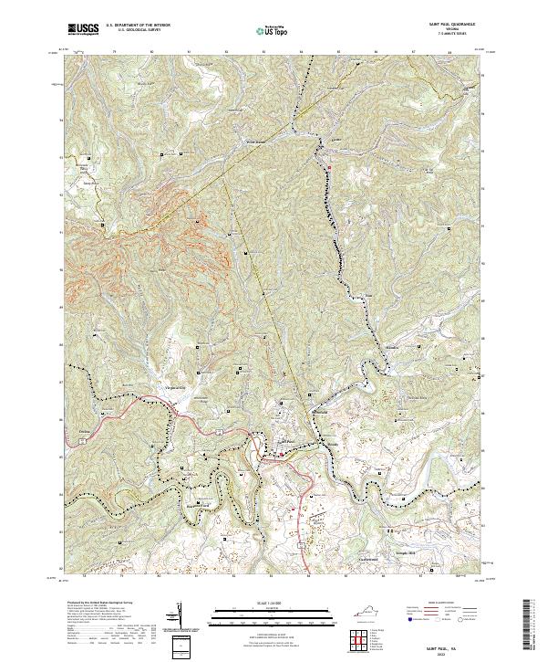
Clinch Mountain and Copper Ridge dictate the geography of this part of Southwest Virginia, where long valleys and ridges channel settlement and transport. In the northern reaches, Dickensonville serves as a historic focal point near the Courthouse, while Hansonville sits at the eastern crossroads where Mountain Creek and several forks of Moccasin Creek converge. The landscape is marked by numerous small communities like Bolton, Creswell, and Hawkins Mill that follow the productive bottomlands between the heights.
Find a feature on this map
65 named features on this map. Tap any name to fly to it.
Don’t see what you’re looking for? This feature index may not catch every label — zoom into the map to look around manually.
Map Details
Editions of this 2022 Hansonville Map
This is the sole edition of this map. No revisions or reprints were ever made.
Historical Maps of Zenobia Through Time
17 maps found
1918 Carterton
Russell County, VA
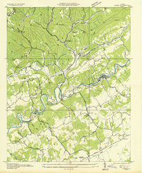
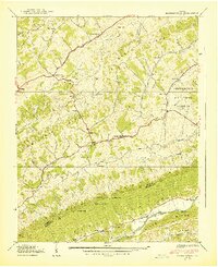
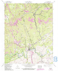
1934 Carbo
Russell County, VA
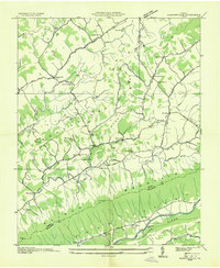
1934 Hansonville
Russell County, VA
1935 Elk Garden
Russell County, VA
1935 Moll Creek
Russell County, VA
1935 St Paul
Russell County, VA
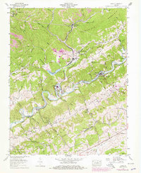
1938 Hansonville
Russell County, VA
1939 Hansonville
Russell County, VA
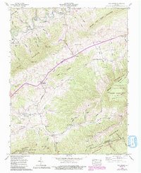
1958 Carbo
Russell County, VA
1958 Elk Garden
Russell County, VA
1958 Moll Creek
Russell County, VA
1958 St Paul
Russell County, VA
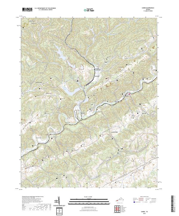
2022 Carbo
Russell County, VA
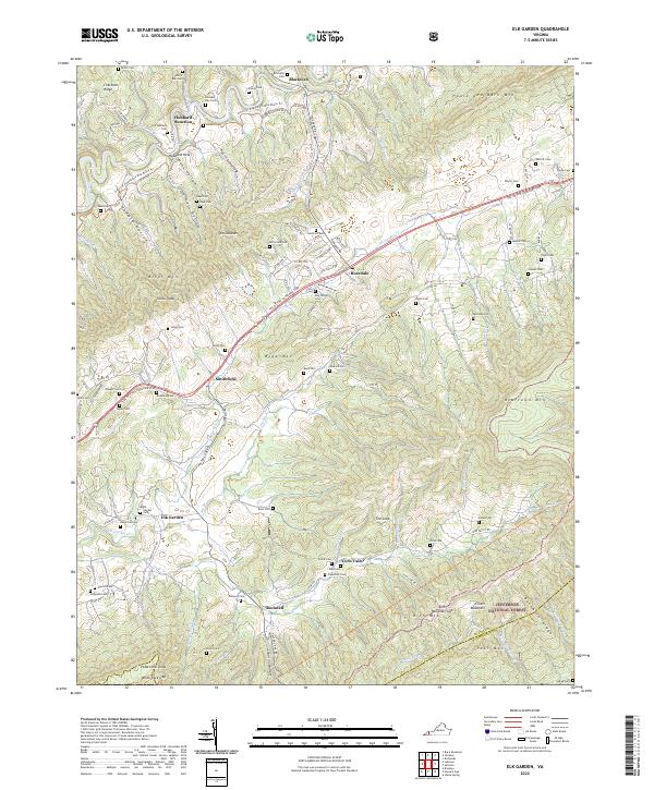
2022 Elk Garden
Russell County, VA
2022 Hansonville
Russell County, VA
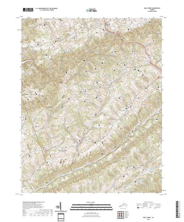
2022 Moll Creek
Russell County, VA
2022 Saint Paul
Russell County, VA