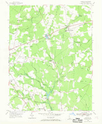
1955 Map of Harbeson
USGS Topo · Published 1969About this map
The Pennsylvania railroad corridor defines the mid-century landscape of Sussex County, connecting small hamlets and agricultural transit points like Harbeson, Broadkill Sta, and Saulsbury Switch. This 1955 survey illustrates a rural Delaware transition where traditional water-powered sites such as Morris Mill and Hunters Millpond coexist with modern developments like the Georgetown Municipal Airport and the Delmarva Raceway. The map provides a detailed view of social infrastructure, locating the Hospital For The Mentally Retarded and the County Prison Farm near the Dupont Highway. A complex network of drainage ditches, including Dutton Ditch and Peterkins Ditch, crisscrosses the agrarian districts, while rural spiritual life is anchored by St John Ch and Bethesda Ch.
Find a feature on this map
55 named features on this map. Tap any name to fly to it.
Don’t see what you’re looking for? This feature index may not catch every label — zoom into the map to look around manually.
Map Details
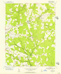
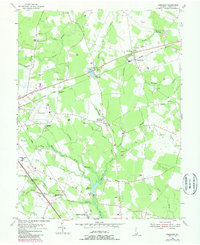
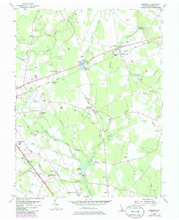
Editions of this 1955 Harbeson Map
4 editions found
Other maps of this area

1917 · Millsboro
USGS Topo · 1:62,500

1918 · Cedar Creek
USGS Topo · 1:62,500

1918 · Rehoboth
USGS Topo · 1:62,500

1918 · Cape Henlopen
USGS Topo · 1:62,500

1919 · Cedar Creek
USGS Topo · 1:62,500

1937 · Cape Henlopen
USGS Topo · 1:62,500

1938 · Cedar Creek
USGS Topo · 1:62,500

1938 · Millsboro
USGS Topo · 1:62,500

1938 · Rehoboth
USGS Topo · 1:62,500

1943 · Fairmount
USGS Topo · 1:24,000