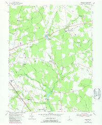
1955 Map of Harbeson
USGS Topo · Published 1985About this map
Harbeson and the agricultural lands of Sussex County are defined by an intricate network of drainage ditches and branches that supported the region's mid-century farming and milling economy. This landscape is anchored by rural hubs like Stockley and Springfield Crossroads, where life revolved around local landmarks like Bethesda Ch and St John Ch. The Delaware Coast Line and Conrail tracks slice through the terrain, connecting rail points like Broadkill Sta and Saulsbury Switch to the wider coastal markets.
Find a feature on this map
53 named features on this map. Tap any name to fly to it.
Don’t see what you’re looking for? This feature index may not catch every label — zoom into the map to look around manually.
Map Details
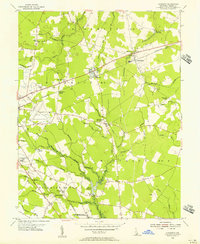
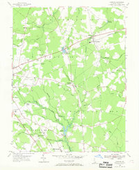
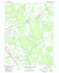
Editions of this 1955 Harbeson Map
4 editions found
Other maps of this area

1917 · Millsboro
USGS Topo · 1:62,500

1918 · Cedar Creek
USGS Topo · 1:62,500

1918 · Rehoboth
USGS Topo · 1:62,500

1918 · Cape Henlopen
USGS Topo · 1:62,500

1919 · Cedar Creek
USGS Topo · 1:62,500

1937 · Cape Henlopen
USGS Topo · 1:62,500

1938 · Cedar Creek
USGS Topo · 1:62,500

1938 · Millsboro
USGS Topo · 1:62,500

1938 · Rehoboth
USGS Topo · 1:62,500

1943 · Fairmount
USGS Topo · 1:24,000