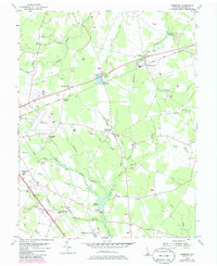
1955 Map of Harbeson
USGS Topo · Published 1985About this map
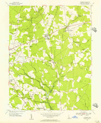
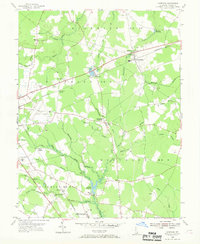
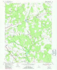
The Delaware Coast Line and Conrail rail corridors anchor this mid-century view of central Sussex County, where the landscape is defined by a dense network of agricultural ditches and small rural junctions. The area around Harbeson and Stockley shows a transition from traditional mill sites like Morris Millpond and Hunters Millpond to more modern land uses, including the Delmarva Raceway and the County Airport. Settlement patterns here are tied to historic crossroads such as Springfield Crossroads and Cabbage Corner, while institutional presence is marked by the Hospital for the Mentally Retarded and the County Prison Farm. The topography is consistently low, with numerous branches like Ingram Branch and Deep Branch feeding into the extensive White Oak Swamp, illustrating the complex drainage systems essential to this coastal plain environment.
Find a feature on this map
54 named features on this map. Tap any name to fly to it.
Don’t see what you’re looking for? This feature index may not catch every label — zoom into the map to look around manually.
Map Details
Editions of this 1955 Harbeson Map
4 editions found
Other maps of this area

1917 · Millsboro
USGS Topo · 1:62,500

1918 · Cedar Creek
USGS Topo · 1:62,500

1918 · Rehoboth
USGS Topo · 1:62,500

1918 · Cape Henlopen
USGS Topo · 1:62,500

1919 · Cedar Creek
USGS Topo · 1:62,500

1937 · Cape Henlopen
USGS Topo · 1:62,500

1938 · Cedar Creek
USGS Topo · 1:62,500

1938 · Millsboro
USGS Topo · 1:62,500

1938 · Rehoboth
USGS Topo · 1:62,500

1943 · Fairmount
USGS Topo · 1:24,000