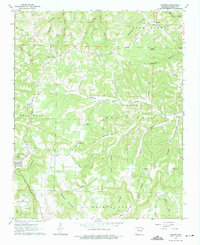
1963 Map of Harriet
USGS Topo · Published 1975About this map
Big Creek winds through the heart of the Ozarks in this early 1960s survey of Searcy County, carving deep valleys between the high plateaus of Bear Creek and Devils Backbone. The landscape is defined by its rugged hydrology, where dozens of named hollows like Cartwright Hollow and Wildcat Hollow drain toward the central watercourse. Small upland communities and family landmarks are scattered across the high ground, including the settlement at Harriet and the nearby Blackjack Knob.
Find a feature on this map
62 named features on this map. Tap any name to fly to it.
Don’t see what you’re looking for? This feature index may not catch every label — zoom into the map to look around manually.
Map Details
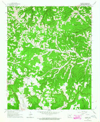
Editions of this 1963 Harriet Map
2 editions found
Other maps of this area

1890 · Mountain Home
USGS Topo · 1:125,000

1891 · Mountain Home
USGS Topo · 1:125,000

1892 · Marshall
USGS Topo · 1:125,000

1892 · Mountain View
USGS Topo · 1:125,000

1893 · Yellville
USGS Topo · 1:125,000

1894 · Mountain View
USGS Topo · 1:125,000

1894 · Mountain Home
USGS Topo · 1:125,000

1894 · Marshall
USGS Topo · 1:125,000

1901 · Marshall
USGS Topo · 1:125,000

1903 · Yellville
USGS Topo · 1:125,000