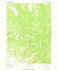
1970 Map of Harrington Peak
USGS Topo · Published 1973About this map
Caribou National Forest encompasses this high-elevation landscape in the late 1960s, defined by the prominent Schmid Ridge and the Preuss Range. The map reveals a land of significant topographic relief, from the heights of Harrington Peak to the depths of Big Basin. Water resources are central to the terrain, marked by numerous named points like Hess Spring, Thompson Spring, and Horseshoe Spr.
Find a feature on this map
51 named features on this map. Tap any name to fly to it.
Don’t see what you’re looking for? This feature index may not catch every label — zoom into the map to look around manually.
Map Details
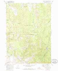
Editions of this 1970 Harrington Peak Map
2 editions found
Other maps of this area

1909 · Montpelier
USGS Topo · 1:125,000

1911 · Montpelier
USGS Topo · 1:125,000

1911 · Slug Creek
USGS Topo · 1:62,500

1915 · Crow Creek
USGS Topo · 1:62,500

1949 · Johnson Creek
USGS Topo · 1:24,000

1949 · Stewart Flat
USGS Topo · 1:24,000

1949 · Dry Valley
USGS Topo · 1:24,000

1949 · Snowdrift Mountain
USGS Topo · 1:24,000

1951 · Stewart Flat
USGS Topo · 1:24,000
1951 · Dry Valley
USGS Topo · 1:24,000