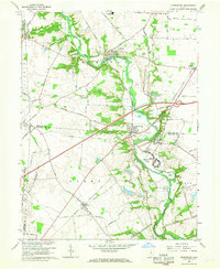
1966 Map of Harrisburg
USGS Topo · Published 1968About this map
Big Darby Creek carves a winding path through this mid-century landscape where Franklin, Madison, and Pickaway counties meet. The area is defined by its small crossroads settlements and significant institutional landmarks, most notably the expansive grounds of the Orient State Institute near the town of Orient. Along the waterway, infrastructure like the McKinley Bridge and a Gaging Sta reflect the management of the local drainage system, which includes Hellbranch Run and Springwater Run.
Find a feature on this map
65 named features on this map. Tap any name to fly to it.
Don’t see what you’re looking for? This feature index may not catch every label — zoom into the map to look around manually.
Map Details
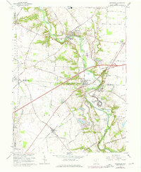
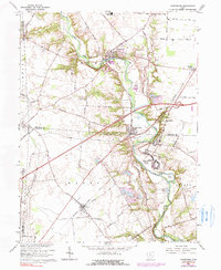
Editions of this 1966 Harrisburg Map
3 editions found
Other maps of this area

1906 · Mt Sterling
USGS Topo · 1:62,500

1907 · London
USGS Topo · 1:62,500

1911 · Era
USGS Topo · 1:62,500

1913 · Era
USGS Topo · 1:62,500

1923 · West Columbus
USGS Topo · 1:62,500

1925 · West Columbus
USGS Topo · 1:62,500

1943 · Era
USGS Topo · 1:62,500

1947 · Columbus
USGS Topo · 1:250,000

1955 · Harrisburg
USGS Topo · 1:24,000
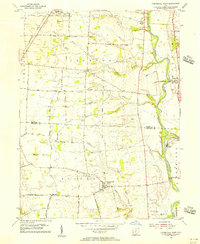
1955 · Commercial Point
USGS Topo · 1:24,000