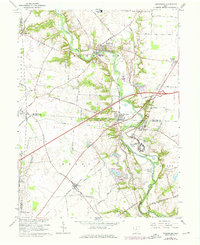
1966 Map of Harrisburg
USGS Topo · Published 1976About this map
Big Darby Creek carves a winding path through this mid-century landscape where the borders of Madison, Pickaway, and Franklin counties meet. The area is defined by its small agricultural centers and institutional presence, notably the sprawling Orient State Institute located south of Harrisburg. The Baltimore and Ohio railroad serves as a primary transit corridor, linking settlements like Orient and Derby across the fertile plains.
Find a feature on this map
62 named features on this map. Tap any name to fly to it.
Don’t see what you’re looking for? This feature index may not catch every label — zoom into the map to look around manually.
Map Details
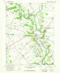
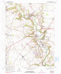
Editions of this 1966 Harrisburg Map
3 editions found
Other maps of this area

1906 · Mt Sterling
USGS Topo · 1:62,500

1907 · London
USGS Topo · 1:62,500

1911 · Era
USGS Topo · 1:62,500

1913 · Era
USGS Topo · 1:62,500

1923 · West Columbus
USGS Topo · 1:62,500

1925 · West Columbus
USGS Topo · 1:62,500

1943 · Era
USGS Topo · 1:62,500

1947 · Columbus
USGS Topo · 1:250,000

1955 · Harrisburg
USGS Topo · 1:24,000
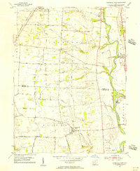
1955 · Commercial Point
USGS Topo · 1:24,000