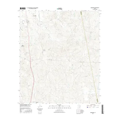
2016 Map of Harrisburg
USGS Topo · Published 2016About this map
Browndell and Sam Rayburn anchor the northwestern portion of this 2016 survey, where the topography of East Texas transitions into a dense network of creek drainages. The landscape is defined by the winding course of Sandy Cr and its tributaries, including Beef Cr and Fourmile Cr. These waterways create a complex series of ridges and valleys that historically influenced the placement of early settlements like Horton and Collins.
Find a feature on this map
49 named features on this map. Tap any name to fly to it.
Don’t see what you’re looking for? This feature index may not catch every label — zoom into the map to look around manually.
Map Details
Editions of this 2016 Harrisburg Map
This is the sole edition of this map. No revisions or reprints were ever made.
Other maps of this area

1952 · Lake Charles
USGS Topo · 1:250,000

1953 · Alexandria
USGS Topo · 1:250,000

1953 · Palestine
USGS Topo · 1:250,000

1954 · Lake Charles
USGS Topo · 1:250,000

1954 · Beaumont
USGS Topo · 1:250,000

1955 · Alexandria
USGS Topo · 1:250,000

1955 · Roganville
USGS Topo · 1:62,500

1955 · Curtis
USGS Topo · 1:62,500

1957 · Beaumont
USGS Topo · 1:250,000

1957 · Palestine
USGS Topo · 1:250,000