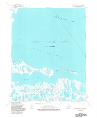
1955 Map of Harrison Bay C-4
USGS Topo · Published 1983About this map
The Kogru River meanders through the marshy lowlands of the North Slope, eventually emptying into the wide expanse of Harrison Bay and the Beaufort Sea. This mid-century survey documents a remote landscape within the National Petroleum Reserve in Alaska, a region defined more by its intricate hydrology and coastal features than by permanent settlements. The map highlights key points of human activity in an otherwise austere environment, such as the Landing Strip and the coastal marker at Kogru E Base.
Find a feature on this map
11 named features on this map. Tap any name to fly to it.
Don’t see what you’re looking for? This feature index may not catch every label — zoom into the map to look around manually.
Map Details
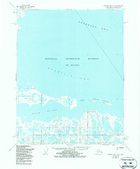
Editions of this 1955 Harrison Bay C-4 Map
3 editions found
Other maps of this area

1951 · Harrison Bay
USGS Topo · 1:250,000

1955 · Harrison Bay
USGS Topo · 1:250,000

1955 · Harrison Bay B-3
USGS Topo · 1:63,360

1955 · Harrison Bay D-4
USGS Topo · 1:63,360
1955 · Harrison Bay C-3
USGS Topo · 1:63,360

1955 · Harrison Bay C-5
USGS Topo · 1:63,360

1955 · Harrison Bay D-5
USGS Topo · 1:63,360

1955 · Harrison Bay B-5
USGS Topo · 1:63,360

1955 · Harrison Bay C-4
USGS Topo · 1:63,360

1955 · Harrison Bay B-4
USGS Topo · 1:63,360