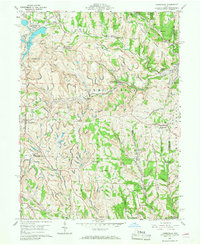
1960 Map of Harrisville
USGS Topo · Published 1968About this map
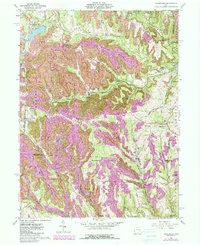
The industrial footprint of mid-century coal mining dominates this landscape, where Strip Mines and the massive Georgetown Coal Preparation Plant sit alongside long-established rural settlements. Situated within the historic Old Seven Ranges, the terrain is defined by a dense network of ridges including Penova Ridge and Branson Ridge, which separate the various forks of Short Creek and Wheeling Creek. The infrastructure of the era is evident in the multiple rail lines serving the valley, including the Chicago and St Louis and New York Central railroads.
Find a feature on this map
67 named features on this map. Tap any name to fly to it.
Don’t see what you’re looking for? This feature index may not catch every label — zoom into the map to look around manually.
Map Details
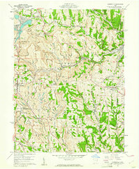
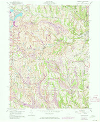
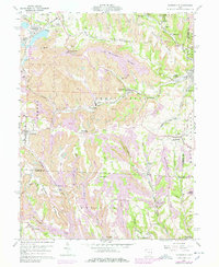
Editions of this 1960 Harrisville Map
5 editions found
Other maps of this area

1901 · Cadiz
USGS Topo · 1:62,500

1902 · Scio
USGS Topo · 1:62,500

1903 · Cadiz
USGS Topo · 1:62,500

1903 · Flushing
USGS Topo · 1:62,500

1904 · Scio
USGS Topo · 1:62,500

1905 · St. Clairsville
USGS Topo · 1:62,500

1905 · Flushing
USGS Topo · 1:62,500

1951 · Canton
USGS Topo · 1:250,000

1953 · Canton
USGS Topo · 1:250,000

1957 · Canton
USGS Topo · 1:250,000