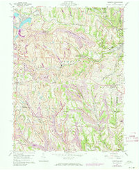
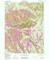
1960 Map of Harrisville
USGS Topo · Published 1973About this map
Industrial activity and small-town life define this section of eastern Ohio, where the extensive Strip Mines carve into the terrain across the Harrison and Belmont county lines. The Georgetown Coal Preparation Plant and numerous tipples along the Norfolk and Western and Penn Central rail lines illustrate the region's mid-century economic dependence on coal. Many small communities like Harrisville, Adena, and New Athens serve as local hubs, while smaller pockets like the Hagan Addition and Robyville reflect the housing patterns for miners and rail workers.
Find a feature on this map
78 named features on this map. Tap any name to fly to it.
Don’t see what you’re looking for? This feature index may not catch every label — zoom into the map to look around manually.
Map Details
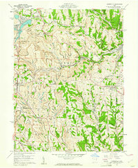
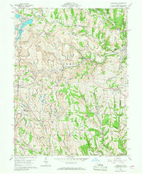
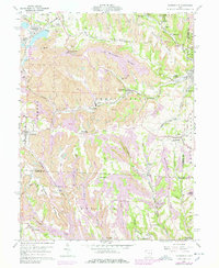
Editions of this 1960 Harrisville Map
5 editions found
Other maps of this area

1901 · Cadiz
USGS Topo · 1:62,500

1902 · Scio
USGS Topo · 1:62,500

1903 · Cadiz
USGS Topo · 1:62,500

1903 · Flushing
USGS Topo · 1:62,500

1904 · Scio
USGS Topo · 1:62,500

1905 · St. Clairsville
USGS Topo · 1:62,500

1905 · Flushing
USGS Topo · 1:62,500

1951 · Canton
USGS Topo · 1:250,000

1953 · Canton
USGS Topo · 1:250,000

1957 · Canton
USGS Topo · 1:250,000