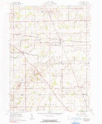
1961 Map of Harrod
USGS Topo · Published 1990About this map
The Erie Lackawanna railroad cuts a straight east-west line through this rural landscape, serving as the industrial backbone for settlements like Harrod and Westminster. The topography is defined by the meandering course of the Auglaize River, which winds through the central portion of the map near the Auglaize Ch and Faulkner. This 1961 record captures a classic Midwestern agricultural pattern, where family names are preserved through a dense network of local landmarks, including the Smith Cem, Heiner Cem, and Ward Cem. Genealogists will find significant value in the scattered rural institutions such as the Grange Hall and Heidelberg Ch, which anchored these farming communities. The southern reaches of the map near West Newton and Holden show the transition into Wayne and Roundhead townships, reflecting the established land divisions of the First Principal Meridian.
Find a feature on this map
53 named features on this map. Tap any name to fly to it.
Don’t see what you’re looking for? This feature index may not catch every label — zoom into the map to look around manually.
Map Details
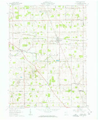
Editions of this 1961 Harrod Map
2 editions found
Other maps of this area

1906 · Lima
USGS Topo · 1:62,500

1906 · Columbus Grove
USGS Topo · 1:62,500

1907 · Bluffton
USGS Topo · 1:62,500

1908 · Columbus Grove
USGS Topo · 1:62,500

1913 · Alger
USGS Topo · 1:48,000

1915 · Alger
USGS Topo · 1:62,500

1943 · Alger
USGS Topo · 1:62,500

1950 · Marion
USGS Topo · 1:250,000

1953 · Muncie
USGS Topo · 1:250,000

1956 · Muncie
USGS Topo · 1:250,000