
1927 Map of Hartford
USGS Topo · Published 1943About this map
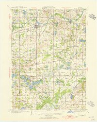
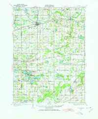
Hartford serves as the primary rail hub on this 1927 survey, situated at the intersection of the Pere Marquette railroad and the Paw Paw River in Van Buren County. The landscape is defined by its agricultural and leisure development, with many small rural schoolhouses like Stickney Sch and Brague Sch serving the farming community. To the south, the Sister Lakes region, including Magician Lake and Dewey Lake, shows the early layout of resort settlements like Woodland Beach and Sandy Beach.
Find a feature on this map
81 named features on this map. Tap any name to fly to it.
Don’t see what you’re looking for? This feature index may not catch every label — zoom into the map to look around manually.
Map Details
Editions of this 1927 Hartford Map
3 editions found
Other maps of this area

1927 · Niles
USGS Topo · 1:62,500

1927 · Bangor
USGS Topo · 1:62,500

1927 · Benton Harbor
USGS Topo · 1:62,500

1927 · South Haven
USGS Topo · 1:62,500

1930 · South Haven
USGS Topo · 1:62,500

1930 · Benton Harbor
USGS Topo · 1:62,500

1930 · Niles
USGS Topo · 1:62,500

1931 · Bangor
USGS Topo · 1:62,500

1931 · Hartford
USGS Topo · 1:62,500

1943 · South Haven
USGS Topo · 1:62,500