
1904 Map of Hartford
USGS Topo · Published 1904About this map
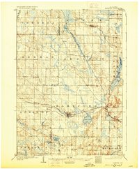
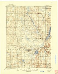
The Hartford area at the turn of the century reveals a landscape defined by the intersection of early rail corridors and glacial lake formations. Surveyed in 1901 by E. C. Bebb and Geo. T. Hawkins, the region is anchored by the hub of Hartford, where the Chicago Milwaukee and St. Paul R. R. follows the path of the Rubicon River. Further east, Schleisingerville sits at a critical junction where the Wisconsin Central R. R. cuts through the morainal hills.
Find a feature on this map
45 named features on this map. Tap any name to fly to it.
Don’t see what you’re looking for? This feature index may not catch every label — zoom into the map to look around manually.
Map Details
Editions of this 1904 Hartford Map
3 editions found
Other maps of this area

1892 · Waukesha
USGS Topo · 1:62,500

1892 · Watertown
USGS Topo · 1:62,500

1892 · Oconomowoc
USGS Topo · 1:62,500

1894 · Watertown
USGS Topo · 1:62,500

1901 · Waukesha
USGS Topo · 1:62,500

1904 · West Bend
USGS Topo · 1:62,500

1906 · Waukesha
USGS Topo · 1:62,500

1909 · Oconomowoc
USGS Topo · 1:62,500

1955 · Waupun
USGS Topo · 1:62,500

1955 · Campbellsport
USGS Topo · 1:62,500