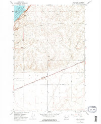
1968 Map of Hartline NW
USGS Topo · Published 1971About this map
Upper Grand Coulee defines this corner of Grant County, where the topography shifts from the dramatic basalt depressions to the high plateau. The northwestern corner of the sheet is dominated by Banks Lake, a vital reservoir whose underwater contours were surveyed by the U.S. Bureau of Reclamation. The landscape is structured by a series of numbered east-west roads, including Road 45 NE and Road 38 NE, indicating a systematic approach to land management and agricultural access during the late 1960s.
Find a feature on this map
21 named features on this map. Tap any name to fly to it.
Don’t see what you’re looking for? This feature index may not catch every label — zoom into the map to look around manually.
Map Details
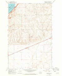
Editions of this 1968 Hartline NW Map
2 editions found
Other maps of this area

1930 · Grand Coulee Sheet 3
USGS Topo · 1:31,680

1953 · Ritzville
USGS Topo · 1:250,000

1959 · Ritzville
USGS Topo · 1:250,000

1965 · Ritzville
USGS Topo · 1:250,000

1965 · Mold
USGS Topo · 1:24,000

1965 · Coulee City
USGS Topo · 1:24,000

1968 · Steamboat Rock SW
USGS Topo · 1:24,000

1968 · Hartline
USGS Topo · 1:24,000

1968 · Hartline SW
USGS Topo · 1:24,000

1968 · Steamboat Rock SE
USGS Topo · 1:24,000