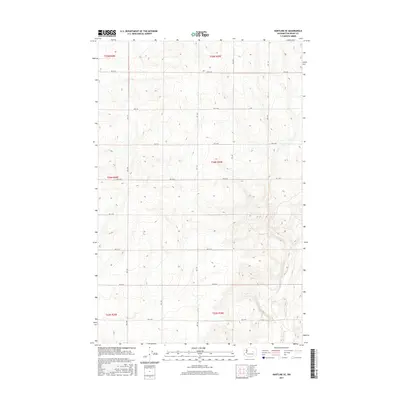
2017 Map of Hartline SE
USGS Topo · Published 2017About this map
Wilson Creek winds through the southeastern corner of this Grant County landscape, providing the primary drainage for a region defined by a precise grid of rural roads. This 2017 survey shows the high-desert character of the area, where the Public Land Survey System has dictated the movement of travel across the terrain. Arteries like Rd 36 Ne and Rd 30 Ne segment the land into townships such as t24n r30e, while a Dirt Trl provides a more organic route through the central sections. The map reveals the relationship between the natural watercourse and the engineered road network, reflecting the modern agricultural and ranching patterns of the Columbia Basin.
Find a feature on this map
17 named features on this map. Tap any name to fly to it.
Don’t see what you’re looking for? This feature index may not catch every label — zoom into the map to look around manually.
Map Details
Editions of this 2017 Hartline SE Map
This is the sole edition of this map. No revisions or reprints were ever made.
Other maps of this area

1953 · Ritzville
USGS Topo · 1:250,000

1956 · Wilson Creek NW
USGS Topo · 1:24,000

1956 · Wilson Creek
USGS Topo · 1:62,500

1959 · Ritzville
USGS Topo · 1:250,000

1965 · Ritzville
USGS Topo · 1:250,000

1968 · Hartline
USGS Topo · 1:24,000

1968 · Hartline SW
USGS Topo · 1:24,000

1968 · Marlin
USGS Topo · 1:24,000

1968 · Hartline SE
USGS Topo · 1:24,000
1968 · Hartline NW
USGS Topo · 1:24,000