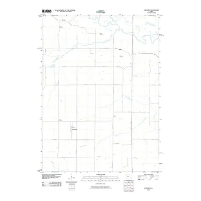
2010 Map of Hartwick
USGS Topo · Published 2010About this map
The Hartwick community and its surrounding agricultural landscape are defined by a grid of rural roads and the winding path of the Iowa River. This 2010 survey documents a region where small settlements like Dover and Moriah serve as anchors for a network of family-named landmarks and cemeteries. The Hartwick Post Office stands at the center of the township, which is bounded by natural watercourses such as Salt Creek, Walnut Creek, and Honey Creek.
Find a feature on this map
39 named features on this map. Tap any name to fly to it.
Don’t see what you’re looking for? This feature index may not catch every label — zoom into the map to look around manually.
Map Details
Editions of this 2010 Hartwick Map
This is the sole edition of this map. No revisions or reprints were ever made.
Other maps of this area

1954 · Des Moines
USGS Topo · 1:250,000

1956 · Des Moines
USGS Topo · 1:250,000

1957 · Des Moines
USGS Topo · 1:250,000

1965 · Ladora
USGS Topo · 1:24,000

1965 · Keystone South
USGS Topo · 1:24,000

1968 · Brooklyn
USGS Topo · 1:24,000

1968 · Belle Plaine SW
USGS Topo · 1:24,000

1968 · Victor
USGS Topo · 1:24,000

1968 · Belle Plaine
USGS Topo · 1:24,000

1968 · Chelsea
USGS Topo · 1:24,000