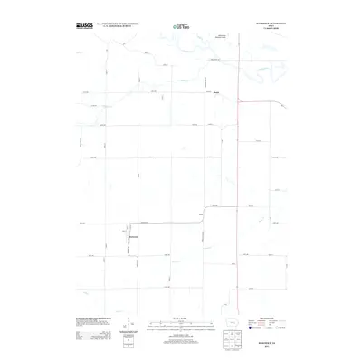
2013 Map of Hartwick
USGS Topo · Published 2013About this map
The Iowa River meanders through the northern section of this Iowa landscape, where agricultural tradition meets local transport hubs in the early twenty-first century. The small community of Hartwick serves as a primary local focal point, characterized by its gridded streets including 2nd St and 1st St. To the northeast, the settlement of Dover sits near the intersection of several county roads, while the Belle Plaine Municipal Airport provides a modern aviation link near the banks of Salt Creek. This area is defined by its drainage network, with Honey Creek, Walnut Creek, and Rock Creek carving subtle paths through the township. The infrastructure is marked by a strict section-line road grid, featuring many named routes such as 320th Ave and 360th Ave that facilitate the region's rural economy and connectivity between these quiet prairie settlements.
Find a feature on this map
47 named features on this map. Tap any name to fly to it.
Don’t see what you’re looking for? This feature index may not catch every label — zoom into the map to look around manually.
Map Details
Editions of this 2013 Hartwick Map
This is the sole edition of this map. No revisions or reprints were ever made.
Other maps of this area

1954 · Des Moines
USGS Topo · 1:250,000

1956 · Des Moines
USGS Topo · 1:250,000

1957 · Des Moines
USGS Topo · 1:250,000

1965 · Ladora
USGS Topo · 1:24,000

1965 · Keystone South
USGS Topo · 1:24,000

1968 · Brooklyn
USGS Topo · 1:24,000

1968 · Belle Plaine SW
USGS Topo · 1:24,000

1968 · Victor
USGS Topo · 1:24,000

1968 · Belle Plaine
USGS Topo · 1:24,000

1968 · Chelsea
USGS Topo · 1:24,000