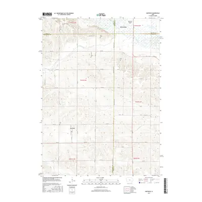
2015 Map of Hartwick
USGS Topo · Published 2015About this map
The Iowa River valley and its surrounding agricultural uplands define this area at the intersection of Benton, Iowa, Poweshiek, and Tama counties. A string of rural burial grounds, including Chambers Cem, Holan Cem, and Blake Cem, are scattered across the landscape, providing essential points of interest for genealogists tracing local families. The settlement of Hartwick serves as a central hub in the southern portion of the map, while the outskirts of Belle Plaine and the Belle Plaine Municipal Airport occupy the northern reaches.
Find a feature on this map
53 named features on this map. Tap any name to fly to it.
Don’t see what you’re looking for? This feature index may not catch every label — zoom into the map to look around manually.
Map Details
Editions of this 2015 Hartwick Map
This is the sole edition of this map. No revisions or reprints were ever made.
Other maps of this area

1954 · Des Moines
USGS Topo · 1:250,000

1956 · Des Moines
USGS Topo · 1:250,000

1957 · Des Moines
USGS Topo · 1:250,000

1965 · Ladora
USGS Topo · 1:24,000

1965 · Keystone South
USGS Topo · 1:24,000

1968 · Brooklyn
USGS Topo · 1:24,000

1968 · Belle Plaine SW
USGS Topo · 1:24,000

1968 · Victor
USGS Topo · 1:24,000

1968 · Belle Plaine
USGS Topo · 1:24,000

1968 · Chelsea
USGS Topo · 1:24,000