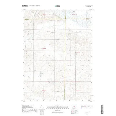
2018 Map of Hartwick
USGS Topo · Published 2018About this map
Hartwick occupies the heart of this rural landscape, situated at the intersection of Co Rd V30 and Co Hwy F17. This 2018 survey reveals a terrain defined by the complex convergence of five different counties—Tama, Poweshiek, Benton, and Iowa—as they meet near the fertile valley of the Iowa River. The northern reaches of the quadrangle show the river's meandering course, accompanied by the waters of Salt Creek and the proximity of the Belle Plaine Municipal Airport.
Find a feature on this map
57 named features on this map. Tap any name to fly to it.
Don’t see what you’re looking for? This feature index may not catch every label — zoom into the map to look around manually.
Map Details
Editions of this 2018 Hartwick Map
This is the sole edition of this map. No revisions or reprints were ever made.
Other maps of this area

1954 · Des Moines
USGS Topo · 1:250,000

1956 · Des Moines
USGS Topo · 1:250,000

1957 · Des Moines
USGS Topo · 1:250,000

1965 · Ladora
USGS Topo · 1:24,000

1965 · Keystone South
USGS Topo · 1:24,000

1968 · Brooklyn
USGS Topo · 1:24,000

1968 · Belle Plaine SW
USGS Topo · 1:24,000

1968 · Victor
USGS Topo · 1:24,000

1968 · Belle Plaine
USGS Topo · 1:24,000

1968 · Chelsea
USGS Topo · 1:24,000