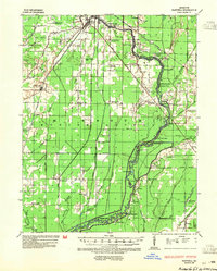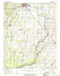
1964 Map of Harviell
USGS Topo · Published 1968About this map
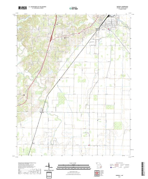
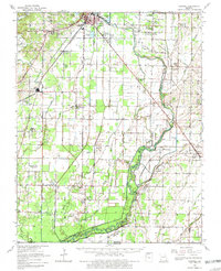
Poplar Bluff anchors the northern reaches of this mid-1960s landscape, where the southern Ozark foothills meet the alluvial plains of the Missouri Bootheel. The survey illustrates a complex water management system of drainage ditches and sloughs, such as Ash Slough and Hunting Slough, designed to reclaim the lowlands between the Black River and the Cache River. This transition from hills to bottomlands is marked by numerous small rural congregations and cemeteries that reveal the settlement patterns of Butler County, including the Little Brown Ch, Bethlehem Temple, and Ashcraft Cem.
Find a feature on this map
83 named features on this map. Tap any name to fly to it.
Don’t see what you’re looking for? This feature index may not catch every label — zoom into the map to look around manually.
Map Details
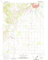
Editions of this 1964 Harviell Map
3 editions found
Historical Maps of Poplar Bluff Through Time
7 maps found