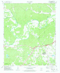
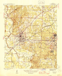
1974 Map of Haskell
USGS Topo · Published 1977About this map
The Alum Fork Saline River meanders through this portion of central Arkansas, defining a landscape shaped by both natural waterways and mid-century industrial growth. The Missouri Pacific railroad corridor anchors the southeastern corner near Haskell, while a network of rural roads connects established community centers like the Harmony Grove Sch and Kentucky Ch. Significant land use is evident in the sprawling grounds of the Benton State Hospital and the nearby Trace Creek Country Club, reflecting the area's development beyond its agricultural roots.
Find a feature on this map
38 named features on this map. Tap any name to fly to it.
Don’t see what you’re looking for? This feature index may not catch every label — zoom into the map to look around manually.
Map Details
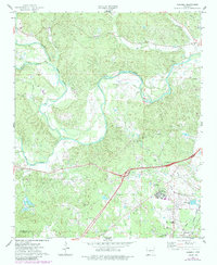
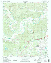
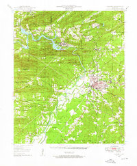
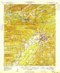
Editions of this 1974 Haskell Map
3 editions found
Other maps of this area

1890 · Benton
USGS Topo · 1:125,000

1894 · Benton
USGS Topo · 1:125,000
1938 · Benton
USGS Topo · 1:48,000

1944 · Benton
USGS Topo · 1:62,500
1944 · Benton
USGS Topo · 1:31,680
1948 · Malvern
USGS Topo · 1:62,500
1949 · Malvern
USGS Topo · 1:62,500

1955 · Little Rock
USGS Topo · 1:250,000

1956 · Little Rock
USGS Topo · 1:250,000

1960 · Little Rock
USGS Topo · 1:250,000