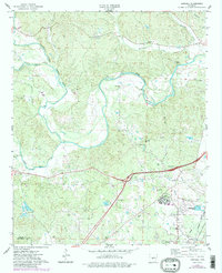
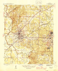
1974 Map of Haskell
USGS Topo · Published 1984About this map
Haskell sits at a critical junction of transport and topography in central Arkansas, where the Alum Fork Saline River, Middle Fork Saline River, and South Fork Saline River converge. This 1974 survey captures a landscape defined by its institutional and rural foundations, notably the expansive grounds of the Benton State Hospital and several family-named landmarks like James Cem and Hammonds Cem. The Missouri Pacific railroad lines anchor the southeastern corner, reflecting the area's historical reliance on rail for commerce and travel.
Find a feature on this map
40 named features on this map. Tap any name to fly to it.
Don’t see what you’re looking for? This feature index may not catch every label — zoom into the map to look around manually.
Map Details
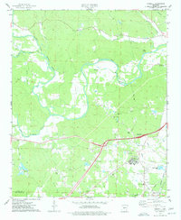
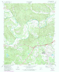
Editions of this 1974 Haskell Map
3 editions found
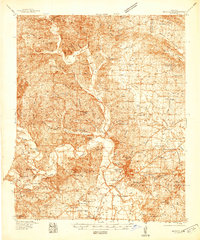
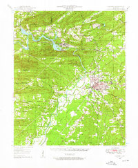
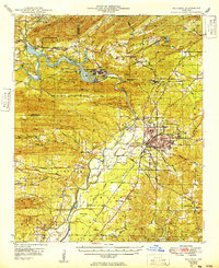
Other maps of this area

1890 · Benton
USGS Topo · 1:125,000

1894 · Benton
USGS Topo · 1:125,000
1938 · Benton
USGS Topo · 1:48,000

1944 · Benton
USGS Topo · 1:62,500
1944 · Benton
USGS Topo · 1:31,680
1948 · Malvern
USGS Topo · 1:62,500
1949 · Malvern
USGS Topo · 1:62,500

1955 · Little Rock
USGS Topo · 1:250,000

1956 · Little Rock
USGS Topo · 1:250,000

1960 · Little Rock
USGS Topo · 1:250,000