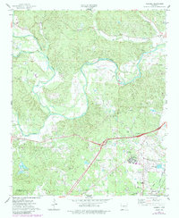
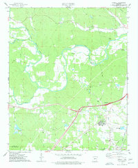
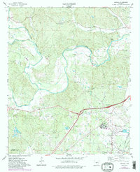
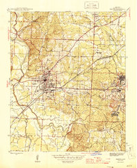
1974 Map of Haskell
USGS Topo · Published 1984About this map
The confluence of the Alum Fork Saline River, Middle Fork Saline River, and South Fork Saline River dominates this mid-1970s landscape southwest of Benton. The town of Haskell serves as a local hub near the Missouri Pacific tracks, surrounded by small rural institutions like the Harmony Grove Sch and Mt Harmony Ch. An expansive complex for the Benton State Hospital appears in the eastern section, complete with its own sewage infrastructure. Genealogy interests are well-served by numerous family and community burial sites, including the James Cem, Hammonds Cem, and Winters Cem. Industry is represented by several Gravel Pits and a Fish Farm near the river forks, while recreational life is marked by Camp Quapaw in the northern hills and the Trace Creek Country Club.
Find a feature on this map
39 named features on this map. Tap any name to fly to it.
Don’t see what you’re looking for? This feature index may not catch every label — zoom into the map to look around manually.
Map Details
Editions of this 1974 Haskell Map
3 editions found
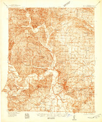
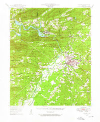
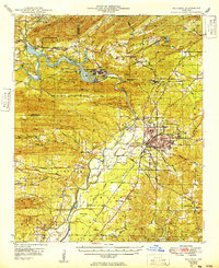
Other maps of this area

1890 · Benton
USGS Topo · 1:125,000

1894 · Benton
USGS Topo · 1:125,000
1938 · Benton
USGS Topo · 1:48,000

1944 · Benton
USGS Topo · 1:62,500
1944 · Benton
USGS Topo · 1:31,680
1948 · Malvern
USGS Topo · 1:62,500
1949 · Malvern
USGS Topo · 1:62,500

1955 · Little Rock
USGS Topo · 1:250,000

1956 · Little Rock
USGS Topo · 1:250,000

1960 · Little Rock
USGS Topo · 1:250,000