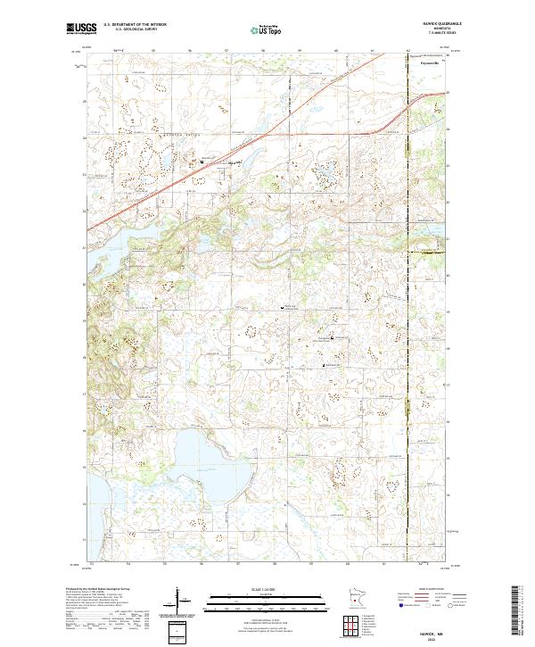
2022 Map of Hawick
USGS Topo · Published 2022About this map
The Bonanza Valley defines the landscape of this region where the borders of Kandiyohi, Stearns, and Meeker counties meet. At the heart of the area is the settlement of Hawick, situated near the Roseville Cem along the Glacial Lakes State Trl. This corridor serves as a focal point for local history, with several burial grounds such as Nordland Cem and Zion Irving Lutheran Cem marking the locations of early rural congregations.
Find a feature on this map
94 named features on this map. Tap any name to fly to it.
Don’t see what you’re looking for? This feature index may not catch every label — zoom into the map to look around manually.
Map Details
Editions of this 2022 Hawick Map
This is the sole edition of this map. No revisions or reprints were ever made.
Other maps of this area

1953 · Saint Cloud
USGS Topo · 1:250,000

1956 · Atwater
USGS Topo · 1:62,500

1957 · Saint Cloud
USGS Topo · 1:250,000

1958 · Saint Cloud
USGS Topo · 1:250,000

1967 · Grove City
USGS Topo · 1:24,000

1967 · Paynesville
USGS Topo · 1:24,000

1967 · Lake Koronis
USGS Topo · 1:24,000
1967 · Georgeville
USGS Topo · 1:24,000

1967 · Hawick
USGS Topo · 1:24,000
1967 · Lake Henry
USGS Topo · 1:24,000