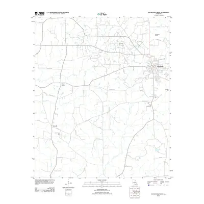
2012 Map of Haynesville West
USGS Topo · Published 2012About this map
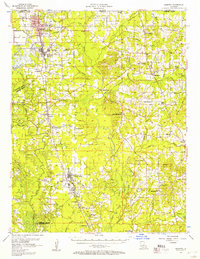
Haynesville serves as the primary hub for this northwestern Louisiana landscape, where the local economy is deeply tied to the extensive energy resources beneath the soil. The map details the significant reach of the Haynesville Oil and Gas Field, alongside the Oaks Oil and Gas Field and East Dykesville Gas Field, illustrating how industrial extraction and rural life coexist. These fields are interspersed with established settlements like Norton Corner and Dykesville, connected by a network of timber and parish roads.
Find a feature on this map
87 named features on this map. Tap any name to fly to it.
Don’t see what you’re looking for? This feature index may not catch every label — zoom into the map to look around manually.
Map Details
Editions of this 2012 Haynesville West Map
This is the sole edition of this map. No revisions or reprints were ever made.
Other maps of this area
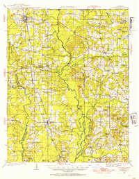
1922 · Sarepta
USGS Topo · 1:62,500
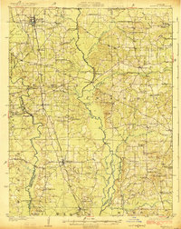
1924 · Sarepta
USGS Topo · 1:62,500
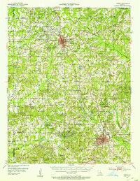
1952 · Homer
USGS Topo · 1:62,500

1953 · El Dorado
USGS Topo · 1:250,000

1955 · Shreveport
USGS Topo · 1:250,000

1956 · Shreveport
USGS Topo · 1:250,000
1956 · Sarepta
USGS Topo · 1:62,500

1957 · El Dorado
USGS Topo · 1:250,000

1958 · El Dorado
USGS Topo · 1:250,000

1960 · El Dorado
USGS Topo · 1:250,000