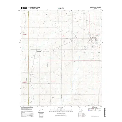
2015 Map of Haynesville West
USGS Topo · Published 2015About this map
Haynesville serves as the primary hub in this corner of Claiborne Parish, where the grid of streets like Camp Ave and Stadium Dr meets the outlying timberlands and oil fields. The landscape is defined by the headwaters of Black Bayou and Indian Cr, which carve through the terrain south toward Dykesville. For those tracing local history, the map provides precise locations for several burial grounds, including Old Haynesville Cem and Shady Grove Cem, situated near a network of rural roads such as Oilfield Rd. This geography illustrates the mid-20th-century transition of the region, where older settlements like Norton Corner and Millerton persist alongside the industrial infrastructure of the North Louisiana oil and gas corridor.
Find a feature on this map
92 named features on this map. Tap any name to fly to it.
Don’t see what you’re looking for? This feature index may not catch every label — zoom into the map to look around manually.
Map Details
Editions of this 2015 Haynesville West Map
This is the sole edition of this map. No revisions or reprints were ever made.
Other maps of this area

1922 · Sarepta
USGS Topo · 1:62,500

1924 · Sarepta
USGS Topo · 1:62,500

1952 · Homer
USGS Topo · 1:62,500

1953 · El Dorado
USGS Topo · 1:250,000

1955 · Shreveport
USGS Topo · 1:250,000

1956 · Shreveport
USGS Topo · 1:250,000

1956 · Sarepta
USGS Topo · 1:62,500

1957 · El Dorado
USGS Topo · 1:250,000

1958 · El Dorado
USGS Topo · 1:250,000

1960 · El Dorado
USGS Topo · 1:250,000