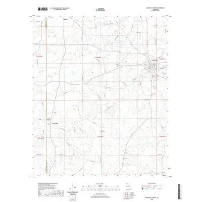
2020 Map of Haynesville West
USGS Topo · Published 2020About this map
Haynesville anchors the eastern edge of this Claiborne Parish landscape, where the town grid meets a network of parish roads and winding bayous. The area is defined by numerous family and community burial grounds, including the Whitehall African American Cem and Whitehall Cem near Dykesville. These sites, along with others like Old Town Cem and Ward Chapel Cem, provide essential anchor points for genealogical research in this rural corridor. The terrain is shaped by the drainage systems of Black Bayou and Indian Cr, which cut through the low ridges of north Louisiana. To the west, the boundary between Webster Parish and Claiborne Parish runs north to south, passing near the small settlement of Millerton. The map documents a landscape of traditional land divisions, where oil field infrastructure and timber roads share space with long-established rural churches like Pleasant Grove Cem.
Find a feature on this map
93 named features on this map. Tap any name to fly to it.
Don’t see what you’re looking for? This feature index may not catch every label — zoom into the map to look around manually.
Map Details
Editions of this 2020 Haynesville West Map
This is the sole edition of this map. No revisions or reprints were ever made.
Other maps of this area

1922 · Sarepta
USGS Topo · 1:62,500

1924 · Sarepta
USGS Topo · 1:62,500

1952 · Homer
USGS Topo · 1:62,500

1953 · El Dorado
USGS Topo · 1:250,000

1955 · Shreveport
USGS Topo · 1:250,000

1956 · Shreveport
USGS Topo · 1:250,000

1956 · Sarepta
USGS Topo · 1:62,500

1957 · El Dorado
USGS Topo · 1:250,000

1958 · El Dorado
USGS Topo · 1:250,000

1960 · El Dorado
USGS Topo · 1:250,000