
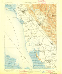
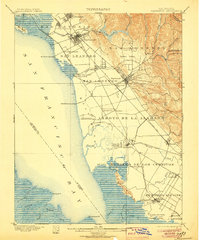
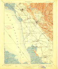
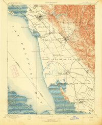
1899 Map of Haywards
USGS Topo · Published 1899About this map
Salt production and maritime trade dominate the East Bay shoreline in the late nineteenth century, where industrial facilities like the Union City Salt Works and Crystal Salt Works occupy the marshy tidal flats. The landscape is defined by the transition from the hills of the Coyote Hills and the drainage of Alameda Creek to the extensive salt marshes of San Francisco Bay. A network of landings, including Roberts Landing, Johnson Landing, and Patterson Landing, serves as the primary interface between the agricultural interior and San Francisco's markets, predating the complete dominance of the rail system.
Find a feature on this map
68 named features on this map. Tap any name to fly to it.
Don’t see what you’re looking for? This feature index may not catch every label — zoom into the map to look around manually.
Map Details
Editions of this 1899 Haywards Map
5 editions found
Other maps of this area

1889 · San Jose
USGS Topo · 1:62,500

1892 · San Mateo
USGS Topo · 1:62,500

1895 · San Francisco
USGS Topo · 1:62,500

1896 · San Mateo
USGS Topo · 1:62,500

1896 · Mt. Diablo
USGS Topo · 1:62,500

1897 · San Jose
USGS Topo · 1:62,500

1897 · Concord
USGS Topo · 1:62,500

1897 · Palo Alto
USGS Topo · 1:62,500

1898 · Mt. Diablo
USGS Topo · 1:62,500

1899 · San Jose
USGS Topo · 1:62,500