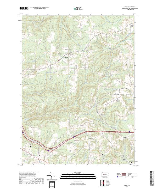
2023 Map of Hazen
USGS Topo · Published 2023About this map
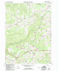
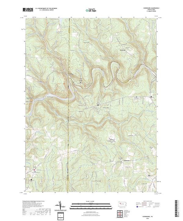
The rolling hills of Jefferson County are marked by a deep-seated rural character, where small crossroads settlements and family-named cemeteries define the landscape. Near the northern border, the Hazen Amish Community Cem sits along Bell Run Rd, highlighting the enduring presence of traditional communities in the area. The map illustrates a network of winding roads and numerous small tributaries, such as Beaver Run and Little Mill Creek, that carve through the high ground.
Find a feature on this map
79 named features on this map. Tap any name to fly to it.
Don’t see what you’re looking for? This feature index may not catch every label — zoom into the map to look around manually.
Map Details
Editions of this 2023 Hazen Map
This is the sole edition of this map. No revisions or reprints were ever made.
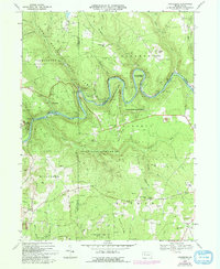
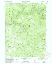
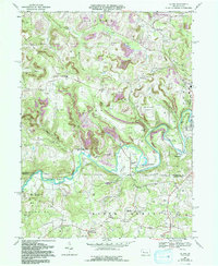
Historical Maps of Polk Township Through Time
17 maps found
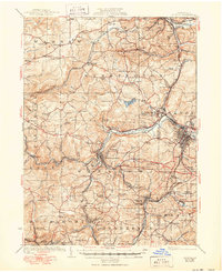
1922 Du Bois
Jefferson County, PA
1924 Du Bois
Jefferson County, PA

1944 Du Bois
Jefferson County, PA
1966 Du Bois
Jefferson County, PA
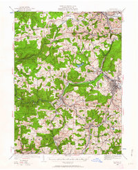
1966 Hazen
Jefferson County, PA
1967 Cooksburg
Jefferson County, PA
1967 Sigel
Jefferson County, PA
1968 Valier
Jefferson County, PA
1969 Coolspring
Jefferson County, PA
1969 Munderf
Jefferson County, PA
2023 Cooksburg
Jefferson County, PA
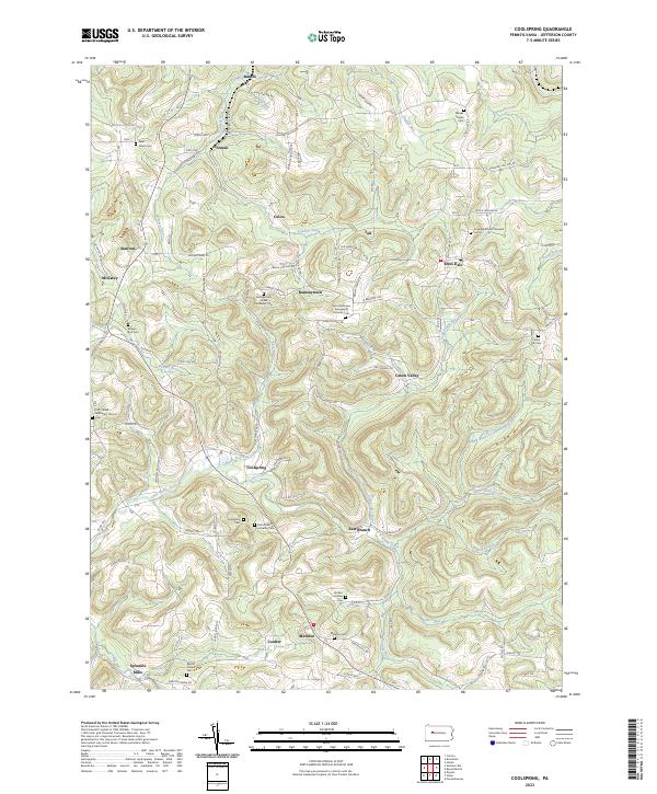
2023 Coolspring
Jefferson County, PA
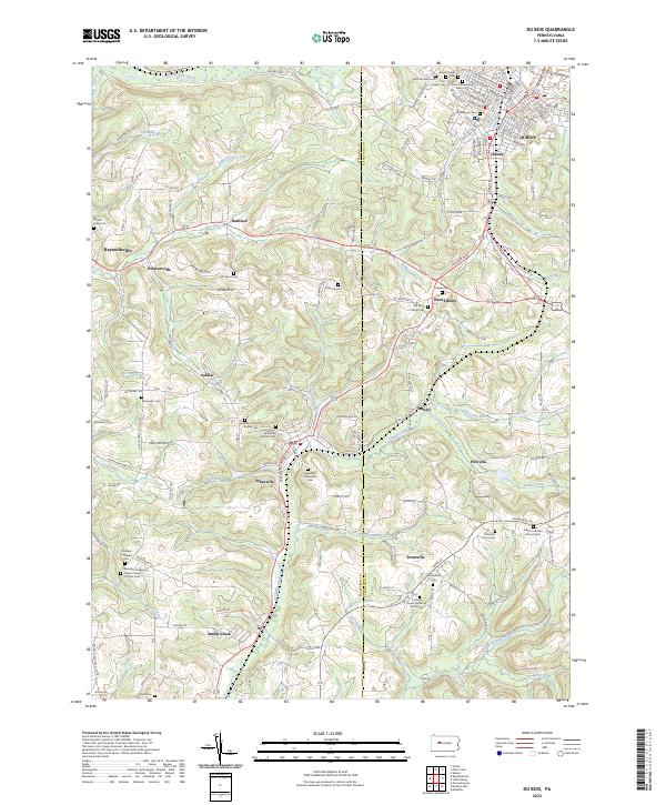
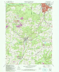
2023 Du Bois
Jefferson County, PA
2023 Hazen
Jefferson County, PA
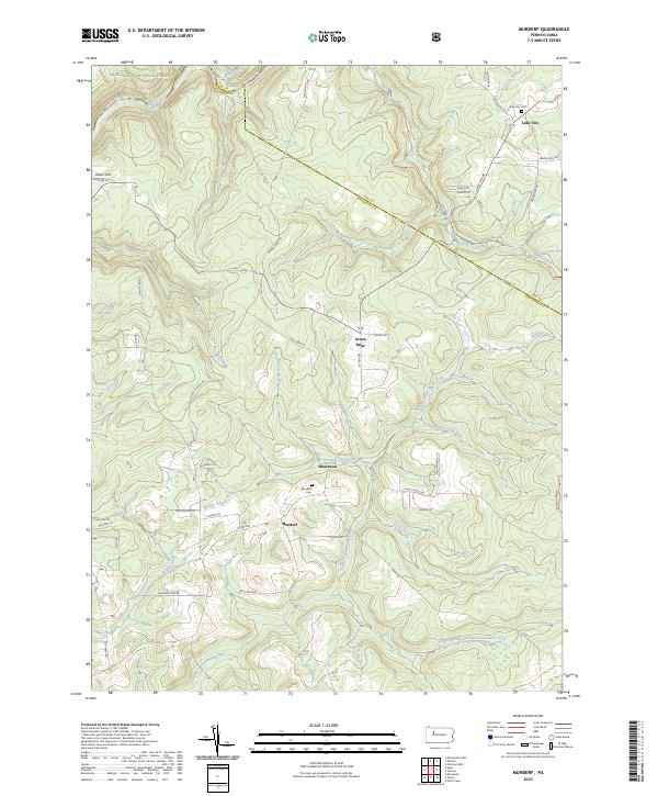
2023 Munderf
Jefferson County, PA
2023 Sigel
Jefferson County, PA
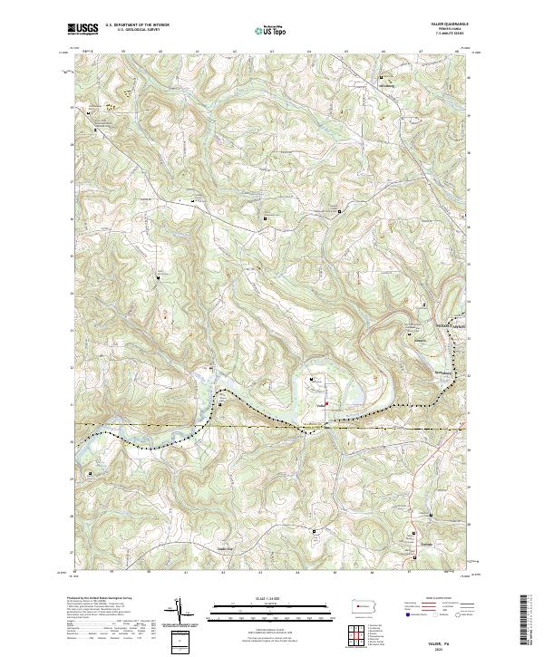
2023 Valier
Jefferson County, PA
Featured Locations
- Snyder Township, PA
- Warsaw Township, PA
- Pine Creek Township, PA
- Winslow Township, PA
- Sandy Valley, Winslow Township