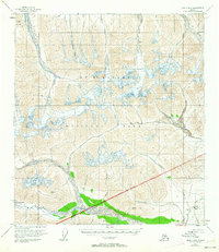
1954 Map of Healy B-6
USGS Topo · Published 1963About this map
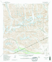
Mt McKinley National Park dominates the landscape of this mid-century survey, defined by the massive glacial systems and high mountain passes that shape the northern interior. The map illustrates a transitional wilderness where the Polychrome Glacier and West Fork Glacier feed the headwaters of major drainages like the Chulitna River and Toklat River. While much of the terrain is characterized by high-elevation features such as Divide Mountain and Easy Pass, human activity is anchored by industrial extraction. The presence of the Dunkle Mine near Camp Creek provides a specific point of interest for researchers tracing the history of mining in the region. The survey also captures the exact National Park Boundary as it stood during the 1950s, showing the intersection of protected land and the resource-rich valleys of Costello Creek and Colorado Creek.
Find a feature on this map
18 named features on this map. Tap any name to fly to it.
Don’t see what you’re looking for? This feature index may not catch every label — zoom into the map to look around manually.
Map Details
Editions of this 1954 Healy B-6 Map
7 editions found

Other maps of this area

1949 · Healy A-6
USGS Topo · 1:63,360

1950 · Healy A-5
USGS Topo · 1:63,360

1950 · Healy B-5
USGS Topo · 1:63,360

1951 · Healy
USGS Topo · 1:250,000

1951 · Healy B-5
USGS Topo · 1:63,360

1952 · Healy C-5
USGS Topo · 1:63,360

1952 · Mount McKinley
USGS Topo · 1:250,000

1952 · Healy A-5
USGS Topo · 1:63,360

1952 · Mount McKinley B-1
USGS Topo · 1:63,360

1952 · Mount McKinley C-1
USGS Topo · 1:63,360