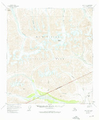
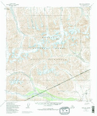
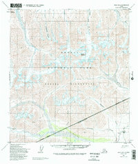
1954 Map of Healy B-6
USGS Topo · Published 1976About this map
Mt McKinley National Park encompasses a significant portion of this mid-century survey, showcasing the high-altitude hydrology and ice of the Alaska Range. The landscape is defined by the massive Polychrome Glacier and West Fork Glacier, which feed the braided drainage systems of the Teklanika River and Chulitna River. A boundary line for the Natl Park Bdy Matanuska-Susitna Borough cuts across the southeast quadrant, marking the intersection of federal preservation and local administrative limits.
Find a feature on this map
20 named features on this map. Tap any name to fly to it.
Don’t see what you’re looking for? This feature index may not catch every label — zoom into the map to look around manually.
Map Details
Editions of this 1954 Healy B-6 Map
7 editions found

Other maps of this area

1949 · Healy A-6
USGS Topo · 1:63,360

1950 · Healy A-5
USGS Topo · 1:63,360

1950 · Healy B-5
USGS Topo · 1:63,360

1951 · Healy
USGS Topo · 1:250,000

1951 · Healy B-5
USGS Topo · 1:63,360

1952 · Healy C-5
USGS Topo · 1:63,360

1952 · Mount McKinley
USGS Topo · 1:250,000

1952 · Healy A-5
USGS Topo · 1:63,360

1952 · Mount McKinley B-1
USGS Topo · 1:63,360

1952 · Mount McKinley C-1
USGS Topo · 1:63,360