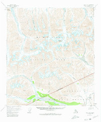
1954 Map of Healy B-6
USGS Topo · Published 1981About this map
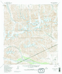
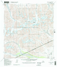
Mt McKinley National Park and the Denali National Monument dominate this 1950s landscape, illustrating the boundary between these two significant protected areas before their eventual merger. The map records the glacial activity and hydrologic network of the Alaska Range, where the Polychrome Glacier feeds into the north-flowing Toklat River and the West Fork Glacier provides the source for the West Fork Chulitna River.
Find a feature on this map
19 named features on this map. Tap any name to fly to it.
Don’t see what you’re looking for? This feature index may not catch every label — zoom into the map to look around manually.
Map Details
Editions of this 1954 Healy B-6 Map
7 editions found

Other maps of this area

1949 · Healy A-6
USGS Topo · 1:63,360

1950 · Healy A-5
USGS Topo · 1:63,360

1950 · Healy B-5
USGS Topo · 1:63,360

1951 · Healy
USGS Topo · 1:250,000

1951 · Healy B-5
USGS Topo · 1:63,360

1952 · Healy C-5
USGS Topo · 1:63,360

1952 · Mount McKinley
USGS Topo · 1:250,000

1952 · Healy A-5
USGS Topo · 1:63,360

1952 · Mount McKinley B-1
USGS Topo · 1:63,360

1952 · Mount McKinley C-1
USGS Topo · 1:63,360