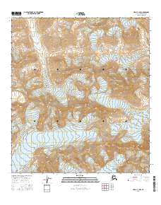
2016 Map of Healy C-1 NW
USGS Topo · Published 2016About this map
Gillam Glacier and Yanert Glacier dominate this interior landscape, marking a terrain of massive ice fields and high-altitude drainage. This 2016 survey illustrates the convergence of several township boundaries, including t13s r2e, t14s r2e, and t15s r2e, providing a precise look at the cadastral grid as it overlays the glacial valleys of the Alaska-Denali Borough. The map focuses on the high-relief environment of the eastern Denali region, where the ice masses serve as the primary geographical anchors for the surrounding mountains. These features represent the headwaters and ice-driven geography of the central Alaska Range, offering a clear record of these glaciers before further environmental change.
Find a feature on this map
11 named features on this map. Tap any name to fly to it.
Don’t see what you’re looking for? This feature index may not catch every label — zoom into the map to look around manually.
Map Details
Editions of this 2016 Healy C-1 NW Map
This is the sole edition of this map. No revisions or reprints were ever made.
Other maps of this area

1949 · Healy D-1
USGS Topo · 1:63,360

1951 · Healy
USGS Topo · 1:250,000

1951 · Healy C-1
USGS Topo · 1:63,360

1951 · Healy C-2
USGS Topo · 1:63,360
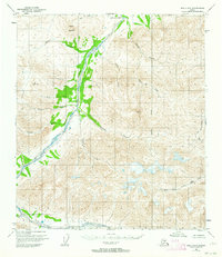
1951 · Healy D-2
USGS Topo · 1:63,360
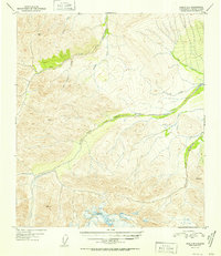
1952 · Healy D-1
USGS Topo · 1:63,360
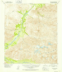
1952 · Healy D-2
USGS Topo · 1:63,360

1956 · Healy
USGS Topo · 1:250,000
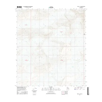
2016 · Healy C-1 SW
USGS Topo · 1:25,000
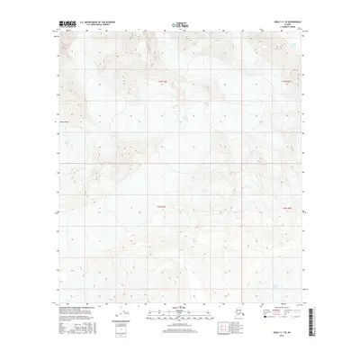
2016 · Healy C-1 SE
USGS Topo · 1:25,000