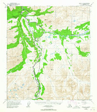
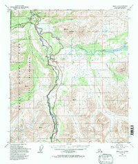
1950 Map of Healy C-4
USGS Topo · Published 1965About this map
Mt McKinley National Park and its surrounding wilderness are documented here during a pivotal era of mid-century infrastructure expansion. The Alaska Railroad and the Denali Highway follow the serpentine course of the Nenana River, illustrating the primary transportation corridor through this interior Alaskan landscape. This survey captures the administrative heart of the region at the Mt McKinley National Park Headquarters, situated near Hines and the McKinley Park Landing Strip.
Find a feature on this map
29 named features on this map. Tap any name to fly to it.
Don’t see what you’re looking for? This feature index may not catch every label — zoom into the map to look around manually.
Map Details
Editions of this 1950 Healy C-4 Map
6 editions found
Other maps of this area

1949 · Healy B-4
USGS Topo · 1:63,360

1949 · Healy C-3
USGS Topo · 1:63,360

1950 · Healy D-4
USGS Topo · 1:63,360

1950 · Healy C-4
USGS Topo · 1:63,360

1950 · Healy B-3
USGS Topo · 1:63,360

1950 · Healy D-3
USGS Topo · 1:63,360

1950 · Healy B-5
USGS Topo · 1:63,360

1951 · Healy
USGS Topo · 1:250,000

1951 · Healy B-5
USGS Topo · 1:63,360

1951 · Healy B-4
USGS Topo · 1:63,360