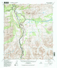
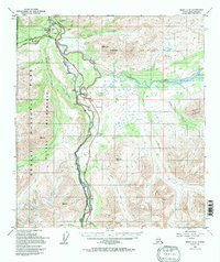
1950 Map of Healy C-4
USGS Topo · Published 1997About this map
Denali National Park Headquarters serves as the gateway to the interior in this mid-century portrait of the Alaskan subarctic. The landscape is defined by the parallel paths of the Alaska Railroad and the Parks (George) Highway, which trace the winding course of the Nenana River through steep mountain passes. Small settlements like McKinley Village and McKinley Park represent the sparse human footprint at the park’s edge, where transportation infrastructure was critical for accessing the region's wilderness. The presence of a Mine and various landing strips, such as the Denali Airport, indicates the dual reliance on rail and air travel for resource extraction and park administration. Dramatic elevations are marked by Mt Fellows and Pyramid Mountain, with glacial drainage systems including the Yanert Fork and Riley Creek carving deep valleys across the terrain.
Find a feature on this map
32 named features on this map. Tap any name to fly to it.
Don’t see what you’re looking for? This feature index may not catch every label — zoom into the map to look around manually.
Map Details
Editions of this 1950 Healy C-4 Map
6 editions found
Other maps of this area

1949 · Healy B-4
USGS Topo · 1:63,360

1949 · Healy C-3
USGS Topo · 1:63,360

1950 · Healy D-4
USGS Topo · 1:63,360

1950 · Healy C-4
USGS Topo · 1:63,360

1950 · Healy B-3
USGS Topo · 1:63,360

1950 · Healy D-3
USGS Topo · 1:63,360

1950 · Healy B-5
USGS Topo · 1:63,360

1951 · Healy
USGS Topo · 1:250,000

1951 · Healy B-5
USGS Topo · 1:63,360

1951 · Healy B-4
USGS Topo · 1:63,360