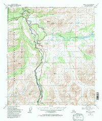
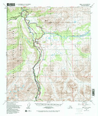
1950 Map of Healy C-4
USGS Topo · Published 1997About this map
The Denali National Park and Wilderness Boundary bisects this landscape, separating the protected parklands from the corridor of development following the Nenana River. Near the northern boundary, the Denali National Park Headquarters serves as a focal point for the region, situated adjacent to the McKinley Park settlement and the Alaska Railroad line. The transport network is a defining feature of the area, with the George Parks Highway and the railroad paralleling the river, connecting remote outposts like Yanert and McKinley Village.
Find a feature on this map
32 named features on this map. Tap any name to fly to it.
Don’t see what you’re looking for? This feature index may not catch every label — zoom into the map to look around manually.
Map Details
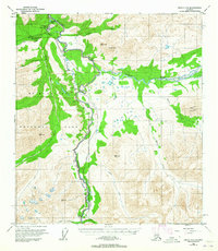
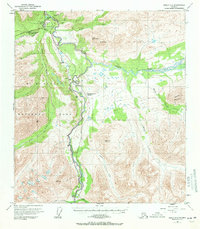
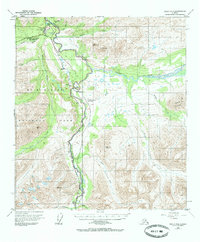
Editions of this 1950 Healy C-4 Map
6 editions found
Other maps of this area

1949 · Healy B-4
USGS Topo · 1:63,360

1949 · Healy C-3
USGS Topo · 1:63,360

1950 · Healy D-4
USGS Topo · 1:63,360

1950 · Healy C-4
USGS Topo · 1:63,360

1950 · Healy B-3
USGS Topo · 1:63,360

1950 · Healy D-3
USGS Topo · 1:63,360

1950 · Healy B-5
USGS Topo · 1:63,360

1951 · Healy
USGS Topo · 1:250,000

1951 · Healy B-5
USGS Topo · 1:63,360

1951 · Healy B-4
USGS Topo · 1:63,360