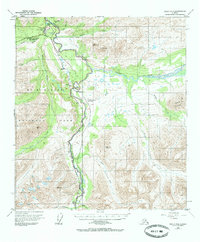
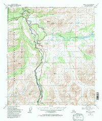
1950 Map of Healy C-4
USGS Topo · Published 1986About this map
McKinley National Park boundaries define the western half of this interior Alaskan landscape, centered on the vital transportation corridor carved by the Nenana River. The Alaska Railroad snakes alongside the river, providing the primary connection between the scattered settlements of Hines, Yanert, and Carlo. This survey captures the infrastructure of early park administration and tourism, featuring the McKinley Park Headquarters, a Campground, and the Mt McKinley National Park Airport. The confluence of the Yanert Fork and the Nenana River marks a significant geographical junction, while nearby Mine workings and a Landing Strip indicate the dual reliance on resource extraction and aviation in this road-limited region. Mountainous terrain, including Mt Fellows and Pyramid Mountain, hem in the glacial river valleys where Montana Creek and Riley Creek flow.
Find a feature on this map
29 named features on this map. Tap any name to fly to it.
Don’t see what you’re looking for? This feature index may not catch every label — zoom into the map to look around manually.
Map Details
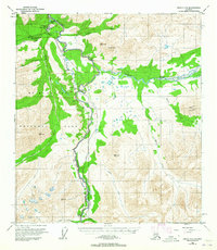
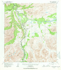
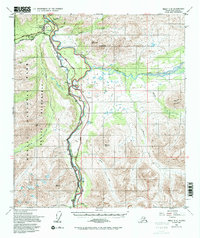
Editions of this 1950 Healy C-4 Map
6 editions found
Other maps of this area

1949 · Healy B-4
USGS Topo · 1:63,360

1949 · Healy C-3
USGS Topo · 1:63,360

1950 · Healy D-4
USGS Topo · 1:63,360

1950 · Healy C-4
USGS Topo · 1:63,360

1950 · Healy B-3
USGS Topo · 1:63,360

1950 · Healy D-3
USGS Topo · 1:63,360

1950 · Healy B-5
USGS Topo · 1:63,360

1951 · Healy
USGS Topo · 1:250,000

1951 · Healy B-5
USGS Topo · 1:63,360

1951 · Healy B-4
USGS Topo · 1:63,360