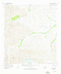
1949 Map of Healy D-1
USGS Topo · Published 1976About this map
West Fork Little Delta River and its numerous tributaries dominate this mid-century topographic portrait of the Alaskan interior. The landscape is defined by high-elevation triangulation stations such as VABM 8159 Marianne and Red Mountain, marking a region where human activity is sparse and tied to the land's drainage patterns. Evidence of backcountry habitation and transit is visible through the presence of Cabins along Dry Creek and a Landing Strip situated north of Portage Creek. The eastern edge of the quadrangle shows the boundary of Fort Greely, reflecting the post-war strategic importance of this northern territory. Waterways like O'Brien Creek and the curiously named Whiskey Pup provide the primary geographic framework for a region largely unsurveyed on the ground at the time of the 1949 aerial photography.
Find a feature on this map
22 named features on this map. Tap any name to fly to it.
Don’t see what you’re looking for? This feature index may not catch every label — zoom into the map to look around manually.
Map Details
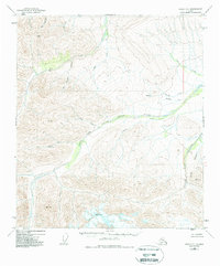
Editions of this 1949 Healy D-1 Map
3 editions found
Other maps of this area

1949 · Big Delta A-6
USGS Topo · 1:63,360

1949 · Fairbanks A-2
USGS Topo · 1:63,360

1949 · Fairbanks A-1
USGS Topo · 1:63,360

1949 · Healy D-1
USGS Topo · 1:63,360

1950 · Fairbanks
USGS Topo · 1:250,000

1950 · Mount Hayes
USGS Topo · 1:250,000

1950 · Big Delta
USGS Topo · 1:250,000

1950 · Mount Hayes D-6
USGS Topo · 1:63,360

1951 · Healy
USGS Topo · 1:250,000

1951 · Big Delta
USGS Topo · 1:250,000