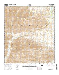
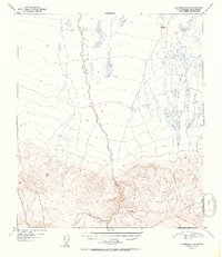
2016 Map of Healy D-1 NW
USGS Topo · Published 2016About this map
Red Mtn stands as the central high point of this high-altitude landscape, part of a drainage network that defines the interior of the Alaska Range. The 2016 survey illustrates a complex system of seasonal and year-round watercourses, where Dry Creek and Red Mountain Cr carve deep channels through the terrain. To the northwest, Snow Mountain Gulch provides a distinct geographical landmark above Threemile Cr. This map represents the raw topographic character of the region, emphasizing the natural barriers and paths created by the flow of Newman Cr and Slate Cr. Unlike more settled regions, the primary features here are geological and hydrological, offering a clear record of the watershed patterns that dictate travel and land use in this part of Alaska.
Find a feature on this map
14 named features on this map. Tap any name to fly to it.
Don’t see what you’re looking for? This feature index may not catch every label — zoom into the map to look around manually.
Map Details
Editions of this 2016 Healy D-1 NW Map
This is the sole edition of this map. No revisions or reprints were ever made.
Other maps of this area

1949 · Fairbanks A-2
USGS Topo · 1:63,360

1949 · Fairbanks A-1
USGS Topo · 1:63,360

1949 · Healy D-1
USGS Topo · 1:63,360

1950 · Fairbanks
USGS Topo · 1:250,000

1951 · Healy
USGS Topo · 1:250,000

1951 · Fairbanks
USGS Topo · 1:250,000
1951 · Healy D-2
USGS Topo · 1:63,360
1952 · Healy D-1
USGS Topo · 1:63,360
1952 · Healy D-2
USGS Topo · 1:63,360
1952 · Fairbanks A-1
USGS Topo · 1:63,360