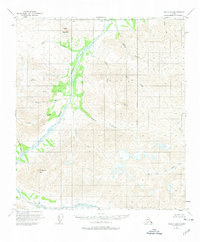
1951 Map of Healy D-2
USGS Topo · Published 1974About this map
The Wood River and its complex network of tributaries define this 1951 survey of the Alaska interior, captured during a period of extensive aerial mapping. The landscape is characterized by the high elevations of Mystic Mountain and Anderson Mtn, where numerous drainages like Mystic Creek and Kansas Creek carve through the terrain. A solitary Cabin located along the river indicates the sparse human presence in this region during the early 1950s, likely serving as a waypoint for travelers or hunters. The eastern portion of the map is dominated by the headwaters of the West Fork Little Delta River, illustrating the glacial and snow-melt hydrology that feeds the larger Alaskan river systems. This sheet provides a detailed view of an unsurveyed wilderness prior to significant modern development, with the Fairbanks Meridian serving as the primary longitudinal reference point for the region's land divisions.
Find a feature on this map
20 named features on this map. Tap any name to fly to it.
Don’t see what you’re looking for? This feature index may not catch every label — zoom into the map to look around manually.
Map Details
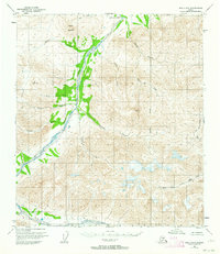
Editions of this 1951 Healy D-2 Map
2 editions found
Other maps of this area

1949 · Healy C-3
USGS Topo · 1:63,360

1949 · Fairbanks A-2
USGS Topo · 1:63,360

1949 · Fairbanks A-1
USGS Topo · 1:63,360

1949 · Healy D-1
USGS Topo · 1:63,360

1950 · Fairbanks
USGS Topo · 1:250,000

1950 · Fairbanks A-3
USGS Topo · 1:63,360

1950 · Healy D-3
USGS Topo · 1:63,360

1951 · Healy
USGS Topo · 1:250,000

1951 · Fairbanks
USGS Topo · 1:250,000

1951 · Healy C-1
USGS Topo · 1:63,360